Drone Roof Inspection in Lexington, KY from Commercial Roofing of Lexington.
Seeing the Whole Roof Without Walking the Whole Roof
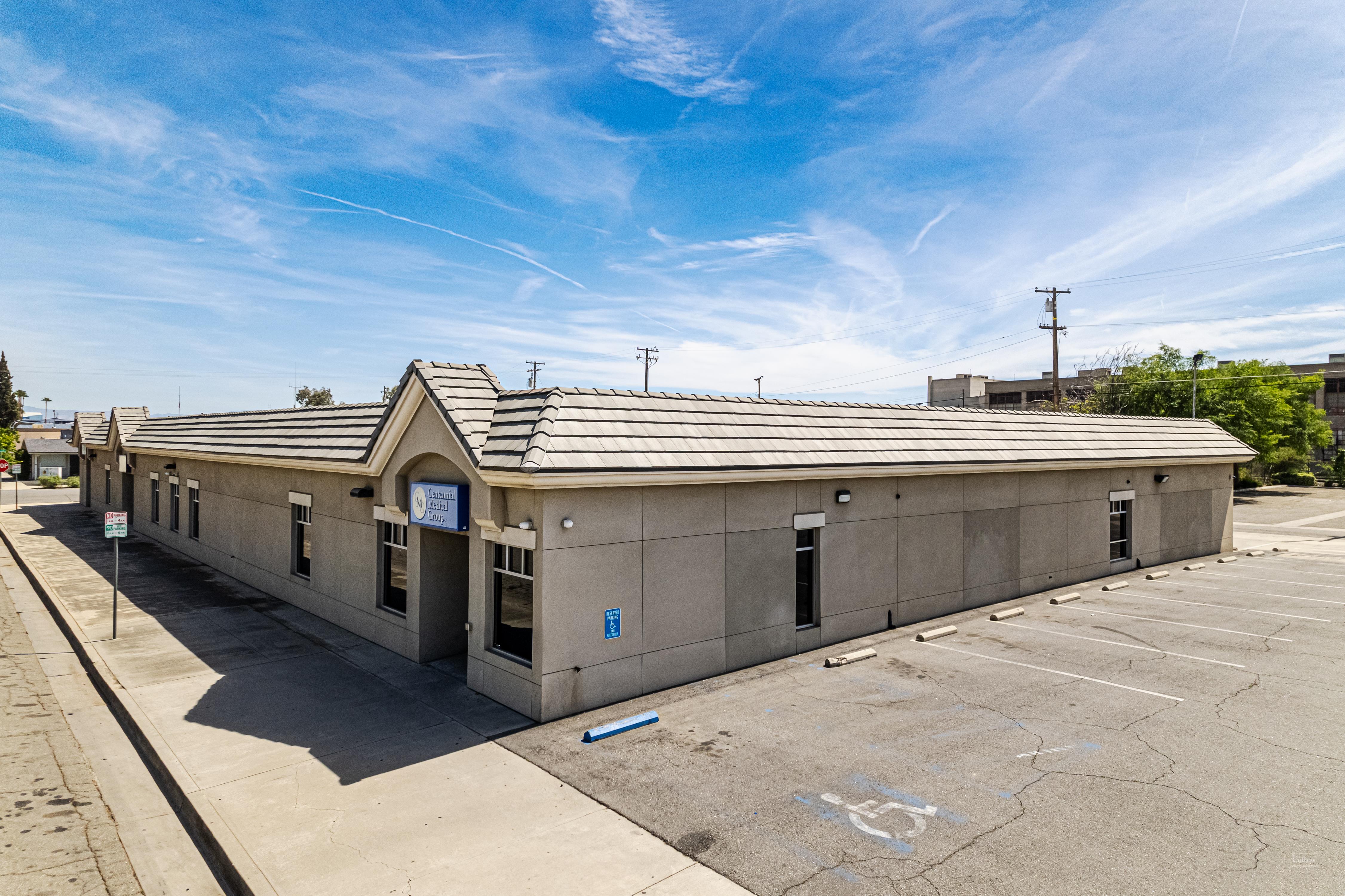
A distribution roof along the Newtown Pike industrial corridor can run several acres. Walking every square foot of it is slow, it is hard on the membrane, and it quietly misses the low spots where water sits but you cannot see the ponding from standing height. A drone changes that. We fly the entire field at a fixed altitude, capture it in high-resolution imagery, and come away with a complete, georeferenced record of every drain, seam, penetration, and surface defect — without a single boot crossing a deck whose condition we have not yet verified.
That last point matters more than it sounds. Sending a crew onto a roof that may have wet, weakened insulation or hidden deck rot is a safety question before it is anything else. Aerial inspection lets us understand the roof before we decide whether and where it is safe to put people on it.
Thermal Imaging and the Moisture You Cannot See
The most valuable thing a drone inspection produces is not the pretty overhead photo. It is the thermal map. Insulation that has taken on water holds heat differently than the dry insulation around it, and an infrared sensor flown during the right conditions makes that difference visible. After a warm day, as the roof sheds heat into the evening, the saturated areas stay warmer longer and light up in the thermal imagery while the surface above them may look perfectly intact to the naked eye.
That thermal signature is the finding that drives the most expensive decision a roof owner makes. If moisture is confined to a few isolated zones, we are talking about targeted removal and recover. If the scan shows water tracking across a large share of the field, the conversation shifts toward full replacement, because no patch keeps up with insulation that is already wet over thousands of square feet. The thermal pass turns that decision from a guess into a measurement, which is exactly what a capital planner at a facility near the University of Kentucky campus or a logistics operator off I-75 needs before committing a budget.
Documentation That Holds Up for Insurance Claims
Central Kentucky takes its share of severe weather — the spring and summer storm lines that cross the Bluegrass bring hail and straight-line wind, and both leave marks on a commercial roof. When a storm hits a building in Fayette County, the claim lives or dies on documentation. A drone gives us georeferenced imagery showing hail impact locations and density, wind displacement and membrane lift patterns, and damage to rooftop equipment and flashings, all tagged to position so an adjuster can review it remotely and tie each finding to a spot on the roof.
We assemble that imagery into a report formatted for how commercial property carriers actually want to receive it, and for an active claim we can turn the package around quickly after the flight so the documentation reaches the adjuster while the damage is fresh. We document what we observe as a roofing contractor; we do not act as a public adjuster or promise a particular claim outcome, but we give the claim the evidence it needs to be evaluated on the facts.
Better Numbers Before You Bid a Reroof
Before anyone writes a reroof specification, a drone inspection nails down the things that drive cost and change orders. We confirm the actual roof area rather than working from an old drawing, we locate and count every penetration and curb, and we document existing conditions in detail. When the bid documents reflect the roof as it really is, there are fewer surprises during construction, fewer requests for information, and fewer change orders padding the final invoice. For a multi-building campus or a large retail box, that accuracy is the difference between a clean project and a running argument over scope.
Flying Legally and Safely Over Lexington
Commercial drone flight is regulated, and we operate under the FAA rules that govern it — certified remote pilot, registered aircraft, and attention to the airspace involved. Lexington's Blue Grass Airport and the controlled airspace around it mean some sites require coordination or authorization before we fly, and we handle that as part of scheduling rather than discovering it on inspection day. We also fly with ground safety in mind, keeping the aircraft clear of people and traffic on busy commercial sites along the New Circle Road belt. The goal is a thorough inspection that never creates a second problem in the course of solving the first.
When a Drone Is the Right Tool
Aerial inspection earns its keep on large, low-slope commercial roofs — warehouses, manufacturing plants, retail centers, schools, and multi-building campuses where a walkover is slow and incomplete. On a small or steeply pitched roof, a hands-on inspection is fast and complete and the drone adds little. As a rough line, once a roof passes ten thousand square feet and a full condition assessment is on the table, the aerial-plus-thermal approach is the more thorough and less disruptive way to get there. We are happy to tell you honestly which roofs in your portfolio are worth flying and which are better handled on foot.
Drone Roof Inspection Questions
How is a drone inspection different from someone walking the roof?
A drone covers the entire surface systematically at a consistent altitude and produces a full photographic record with no foot traffic on the membrane and no crew exposed to an unknown deck. It shines on large roofs where a walkover takes hours and misses the low areas where water pools. Thermal moisture mapping in particular is not practical on foot across a big roof — it needs the systematic coverage only a flight gives.
Can thermal imaging actually find trapped moisture?
Yes, under the right conditions. The standard window is the cool-down after a warm day, when wet insulation holds heat longer than the dry insulation around it and shows up as a clear thermal signature in the infrared image. The resulting moisture map is accurate enough to drive the call between partial replacement and full tearoff.
How do you use the footage for an insurance claim?
We build a georeferenced report documenting hail impact locations and density, wind damage patterns, equipment and flashing damage, and overall membrane condition, formatted to match what commercial property carriers expect and ready to hand to the adjuster. We document conditions as a contractor; we do not act as a public adjuster or guarantee a claim result.
Which roofs are worth inspecting by drone?
Large flat commercial roofs — logistics and industrial buildings, retail centers, office and institutional campuses. It is less useful on small or steep roofs where a manual inspection is quick and thorough. For any commercial roof over roughly ten thousand square feet needing a full assessment, the aerial approach is more efficient.
How fast can you get a drone over our building in Lexington?
Routine inspections are typically schedulable within a few business days, and we prioritize emergency post-storm flights for claim documentation, often within a day or two of a significant weather event. Because of the controlled airspace around Blue Grass Airport, some sites need flight authorization first, which we arrange as part of scheduling.